Cycling tourism
Explore at your own paceCycling
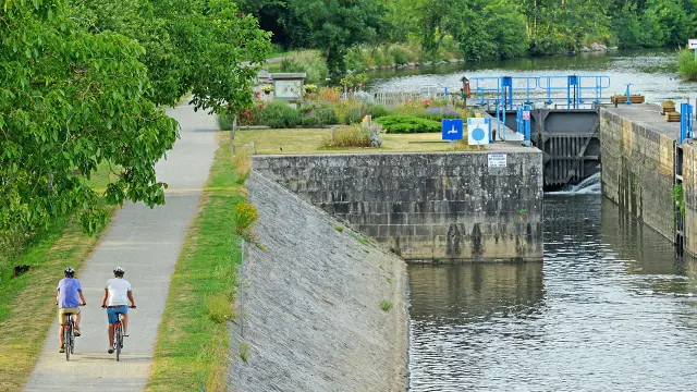
in LavalThe Francette® bicycle route

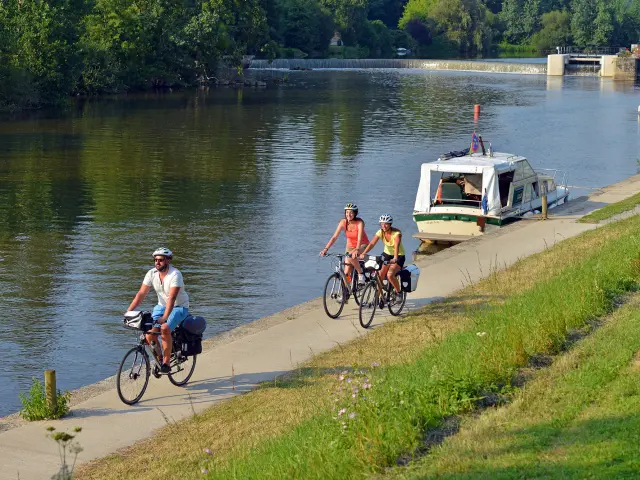
Called the Vélo Francette, this cycle route stretches over 630 kilometres between the D-Day landing beaches (Calvados) and the port of La Rochelle (Charente-Maritime).
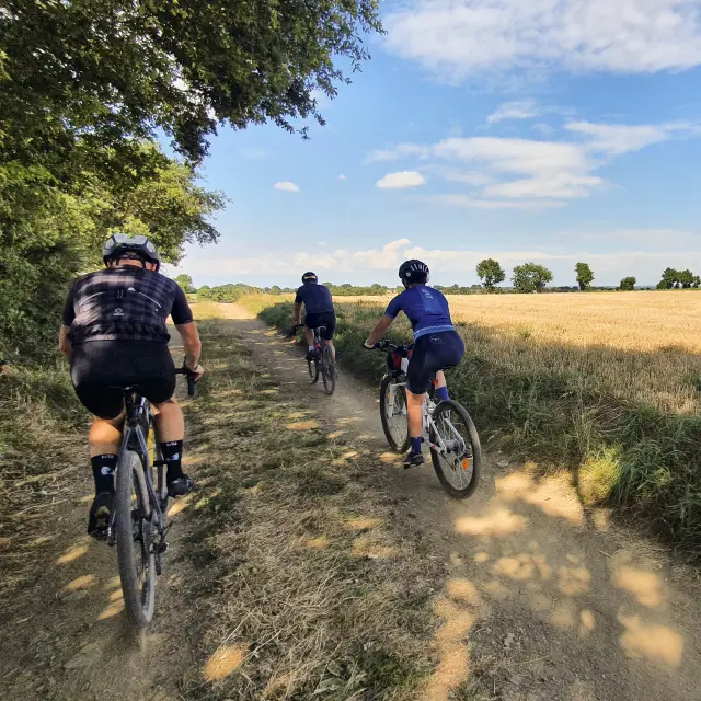
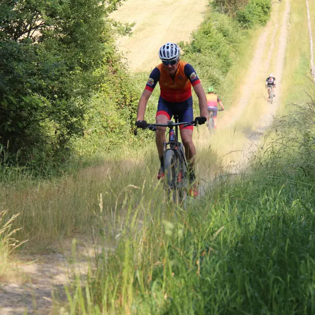
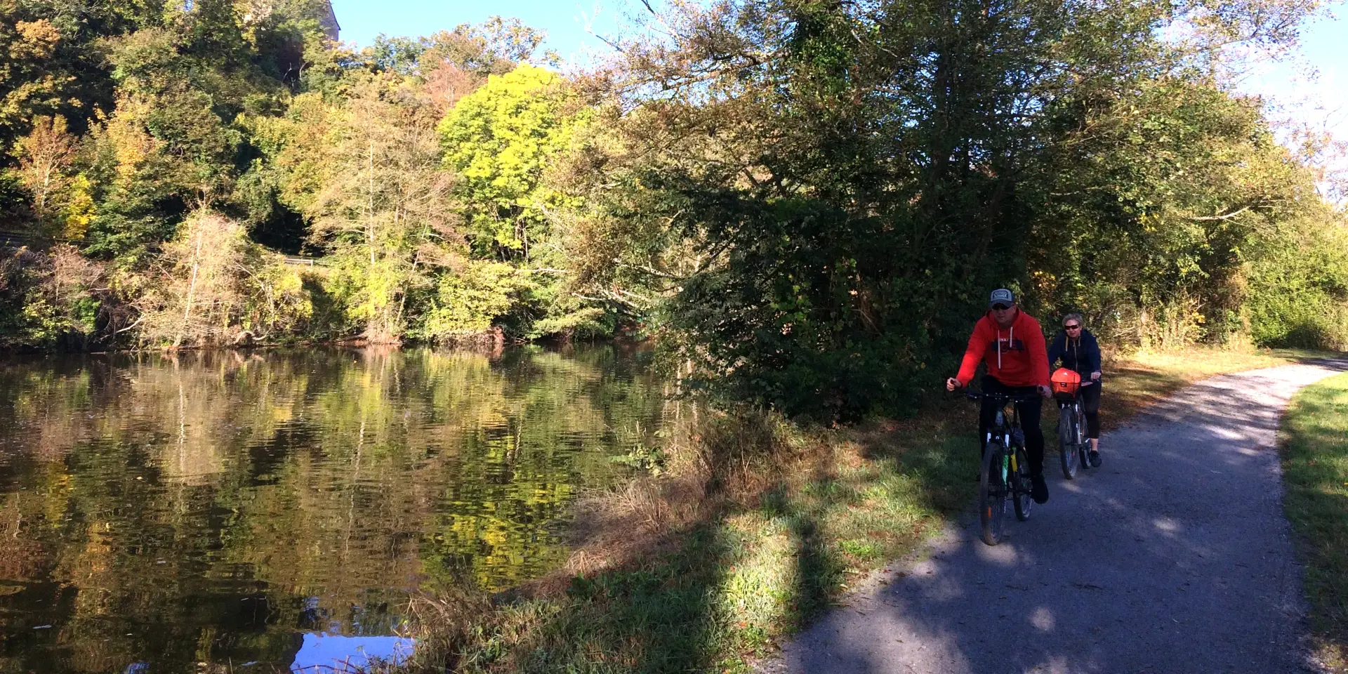
In Mayenne, there is a sensational section of the Vélo Francette. This 105-kilometre itinerary combines the least amount of change in altitude with the greatest degree of safety, using the towpath of the River Mayenne.
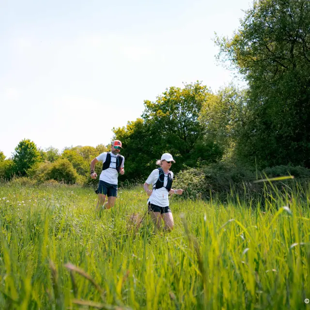
It’s child’s play, requiring just a little patience and perseverance.
What you need to know
The towpath along the Vélo Francette is not tarmac. It is preferable to cycle on a mountain bike rather than a city or racing bike.
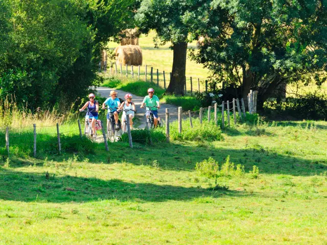
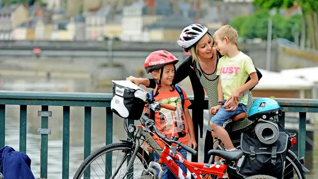
If you are accompanied by children, choose stages of less than 40 km. Helmets are compulsory for children up to the age of 12, and strongly recommended for adults. For young children, a trailer or a bike towed by a bar is very practical.
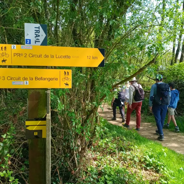
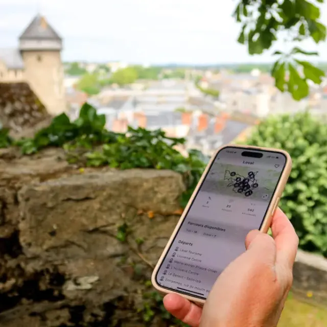
All along the route, clearly-marked signs inform you of the distance to the finish.
If you are planning to return to your starting point by train, there is only one station on the Mayenne section, at Laval, otherwise you will have to travel to Angers.
The Accueil Vélo label guarantees a high-quality welcome and services along cycle routes for touring cyclists.