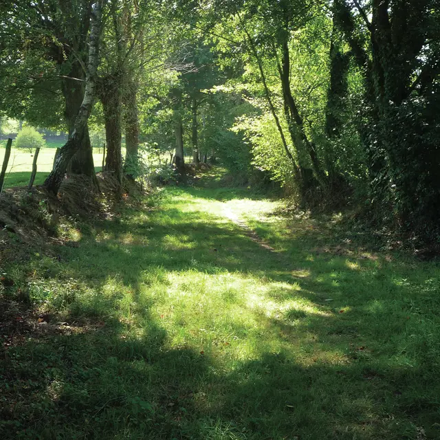
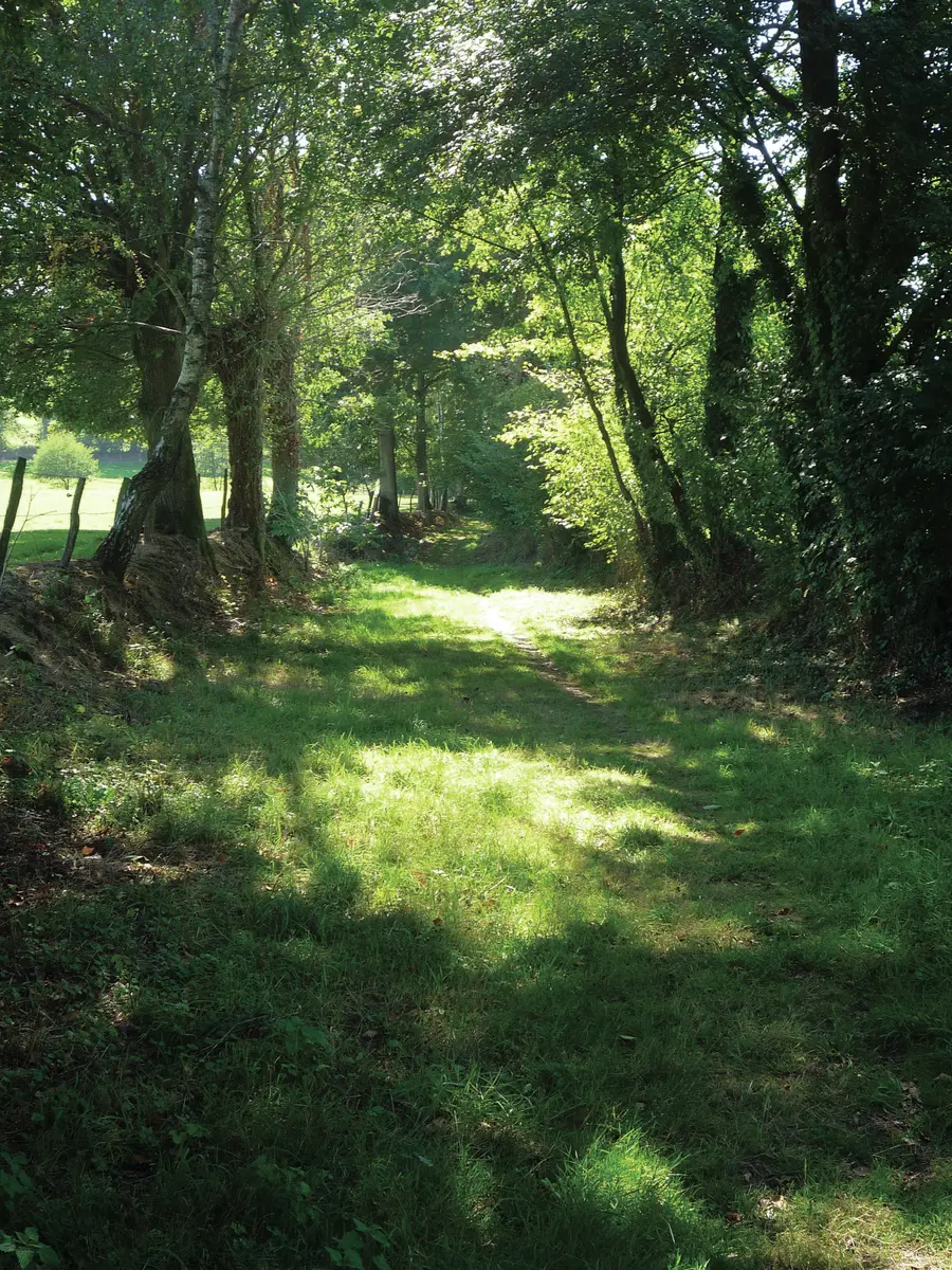
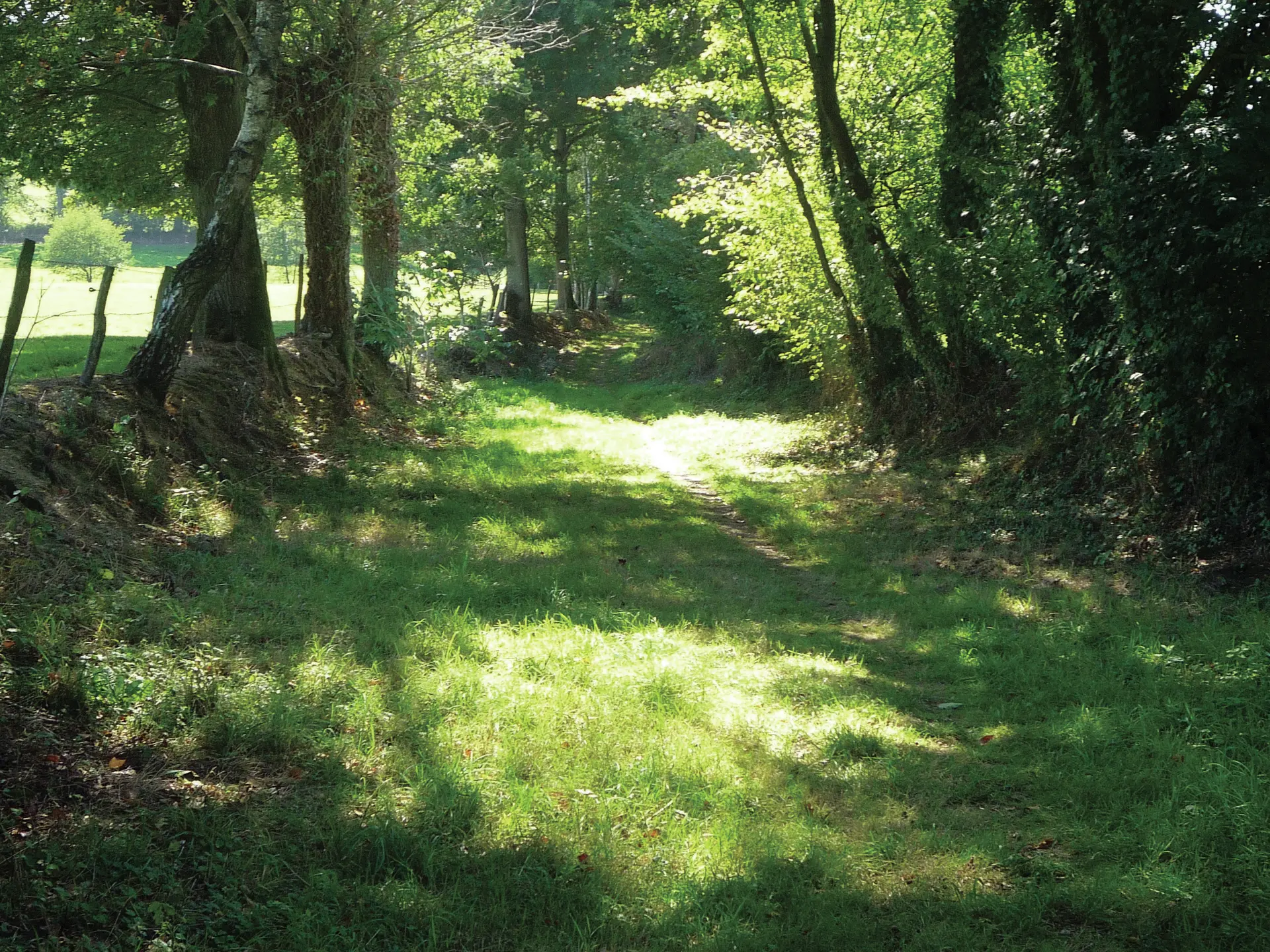
1. At the far end of the park, close to the stream, the start of a long series of paths sheltered by their protected hedges, bearing witness to their varied functions over the centuries.
2. At the crossroads, go up the narrow winding path to Les Maisons Neuves. At La Roussière, a gravel track leads to two tarmac sections descending to the valley and serving L'Orrière. The path skirts the riparian vegetation of the Etang d'Olivet and climbs up to a tapered cross (17th century). To the left, return to point 1 and then left again, skipping over the stream at la Pelluère.
3. Short stretch of road to Chemin des Grillères. After entering the village, the path between the houses leads down to the village.