TO DISCOVER ALONG THE WAY
- Wash-house on the route du Pertre fed by the Saint Méen fountain
- Calvary
LOCATION Loiron- Ruillé, 17 km west of Laval
PARKING Between the church tower and the Grange N 48.05656 °, W 0.95541 °
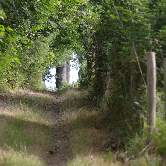
1 Go down the main street from the church towards the Saint-Méen fountain, frequented from the Middle Ages to the 18th century by many pilgrims suffering from leprosy or scabies, heading from Laval towards St-Méen-le-Grand (I and V) in the hope of a cure. At the top of the hill, on the left, the Chemin Vert de la Chotardière. A quiet communal road running between two ponds towards Haut Pineau.
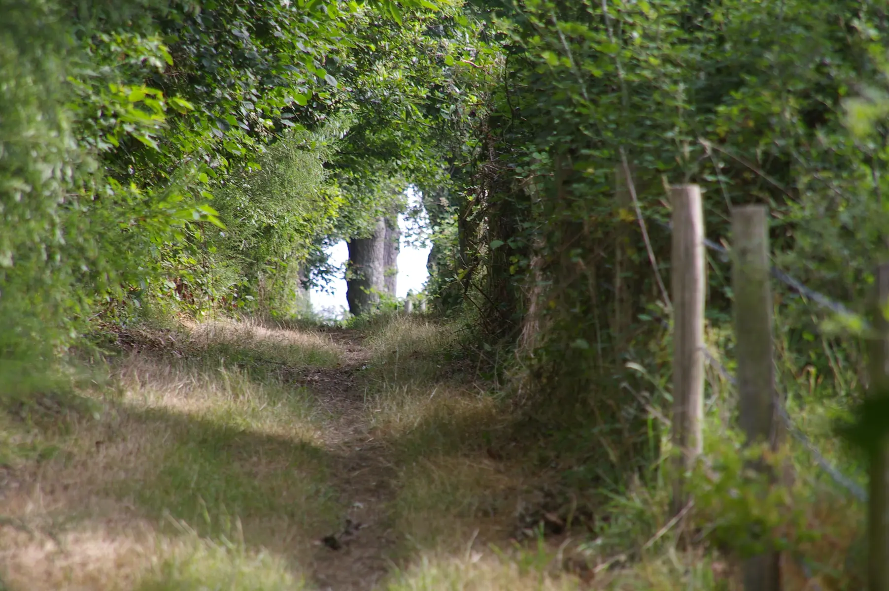
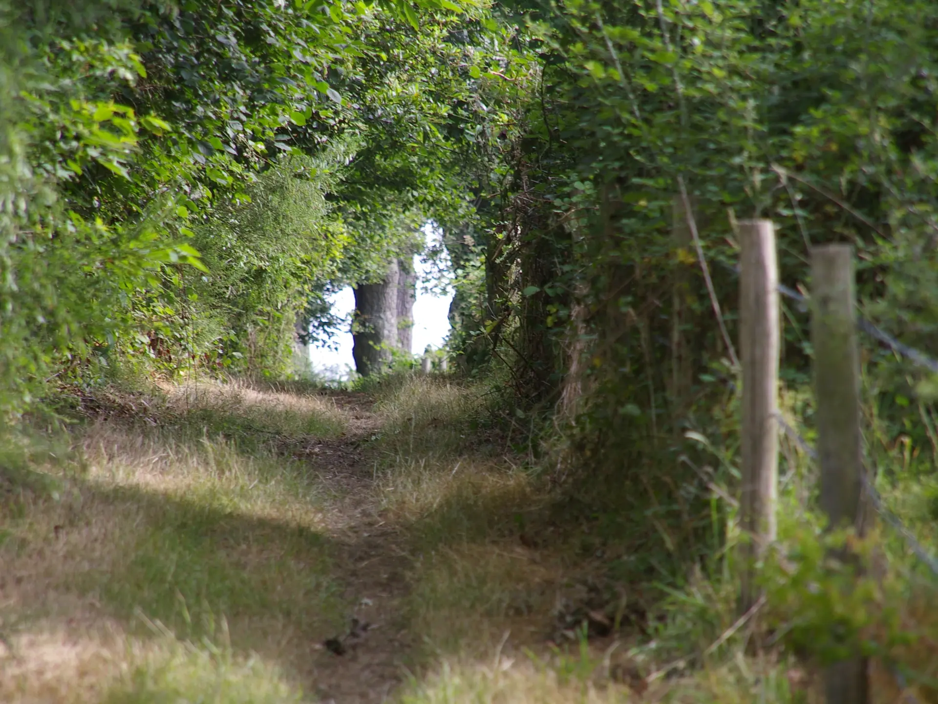
(2) Path structuring the checkerboard pattern of a more or less dismantled bocage, protecting the crops. At the first crossroads, the lane of the pretty Plonnière farm serves stretches of rural road up to the corner of a copse.
3 A wide medieval road linking La Gravelle to Laval soon crosses an axis from Ruillé to Montjean. Between maintained hedged farmland and open fields, you come up against the high-speed line. On the left, a new track for 1 km alongside the high-speed line (320 km/h!) to cross a large tunnel with the River Oudon.
4 After passing through a grove of trees and the Chemin de Limesle, a long local road leads to the market town of Ruillé.
HISTORY
Going back in time The two former communes of Loiron and Ruillé were closely linked by shared interests prior to the merger on 1 January 2016, and are linked by a medieval path known as the "gravel road". The LGV line revealed sedentary activities 6,000 years ago. After 2200 BC, numerous agricultural settlements were reorganised several times. During the Roman period, two vast agricultural estates
were established and served by the Chapelle du Chêne ridge road. After the 7th century, forests and wastelands spread from La Gravelle to Laval. Around the year 1000, the lords of Laval installed their feudal lords, followed by monks with rights. The forest was cleared and the land reclaimed. Wide roads were built, providing access to the ironworks, which were often exploited on site.