A city in the countryside!
Start from the Changé lake, just in front of the route signs!
Follow the N°6 GREEN signs!
You'll also see the markings for N°7 BLEU, which is thirteen kilometres long, as the two routes sometimes cross.
Generally speaking, the signposting is discreet and requires a bit of attention at first to spot. If you hesitate or make a mistake, always retrace your steps and observe - you'll always find the right path!
For more help and information, download the ON PISTE application by scanning the QR code on the sign and follow the voice or text guidance. If necessary, refresh the location page as you progress (some phones do this naturally).
An 8km trail to get you started. Ideal for discovering this sport or ... warming up! The paths are both wide and trail-like. This route allows you to discover the town of Changé in country-to-town mode, the banks of the Mayenne and some steep woods!
The first loop takes you along the left bank of the Mayenne, passing through the protected area and a first magnificent viewpoint from the heights.
To get to the right bank, cross the Mayenne and head for the Parc des Ondines!
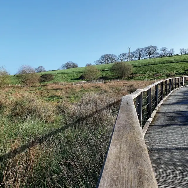
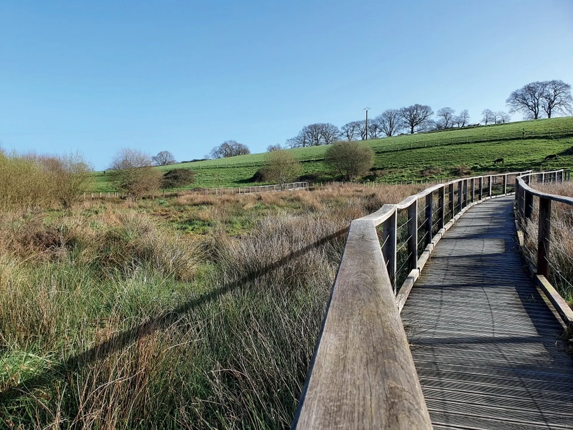
As soon as you cross the bridge, you descend into the vast Parc des Ondines along the Mayenne; at the exit, cross the route de Laval on the protected walkway and climb the few steps into the Bois de la Châtaigneraie; the path is now narrow and technical, ideal for getting a feel for trail running!
Before heading back down into the village, take note of the "little cave" between the trees, which was used to store foodstuffs! It's also known as "La Glacière"!
At the halfway point, you cross the village along the wash-house path before returning to a wide path surrounded by fields of sheep... The côte de la Bergerie is not far off! But in this direction, it will be a beautiful descent!
At the fork in the road, turn left onto a wide track before embarking on the main difficulty of the route, which will take you to a superb panoramic view of the town and its surroundings.
At sunrise or sunset, it's a must!
The rest is a succession of paths through undergrowth, lanes and alleyways before crossing the Mayenne one last time!
IF you've enjoyed this route... but you've still got it under your belt... then take a look at route no. 7 "Un Trail pour Changé" (signposting to come!) It's almost 13km long, and will take you through some more technical and hilly areas, as well as taking you back along some of the trails in the opposite direction!