Signposted route, updated with some new features (20/11/2025)!
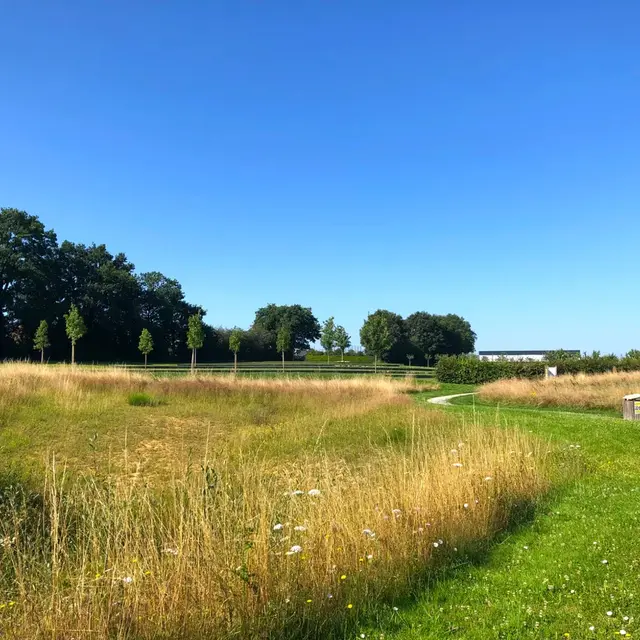
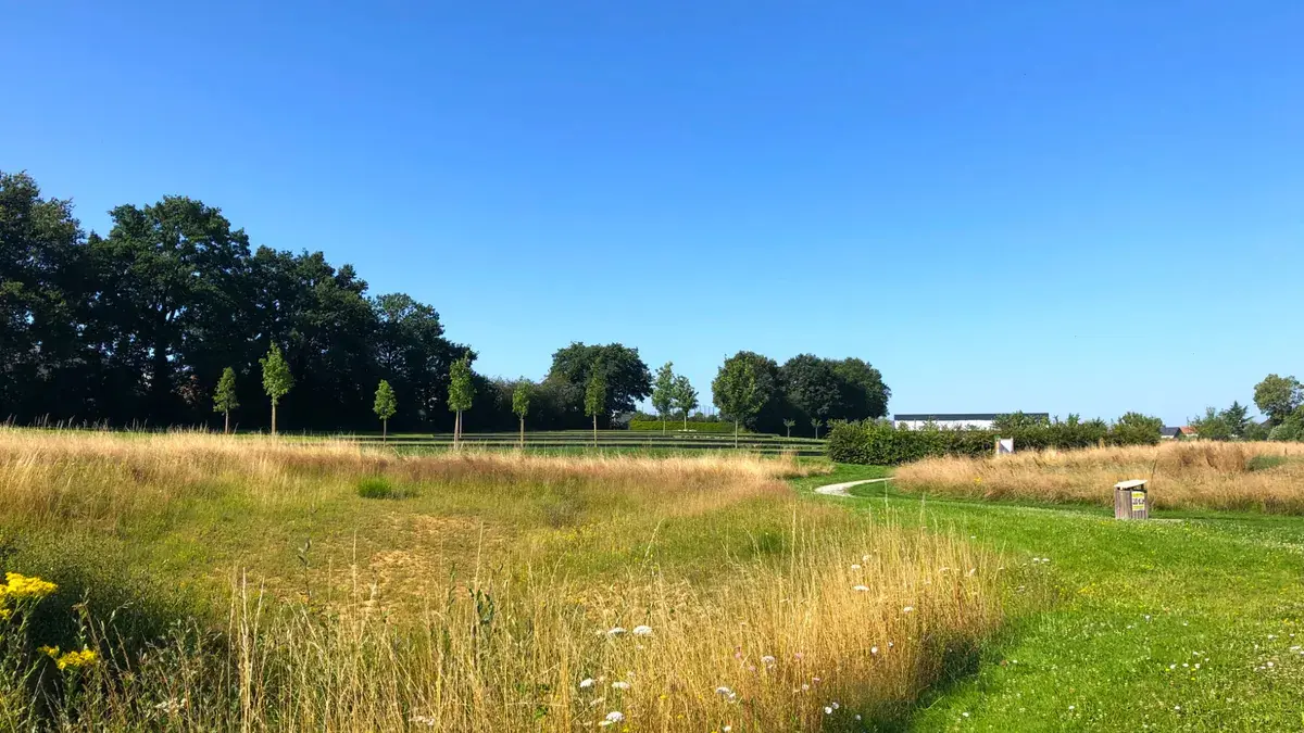
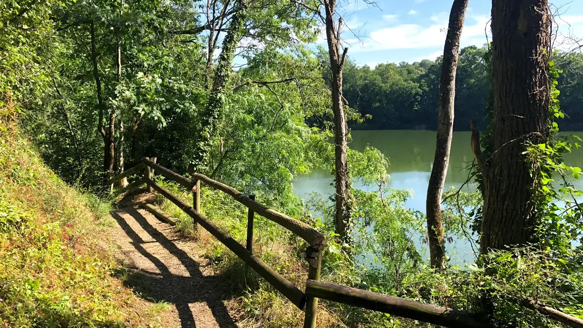
Until now, this route was 25 km long but had too many "road" sections. We are now offering this "short" route starting from the heart of the village of Louverné and its footpaths, passing through its green corridor, the Vannerie pond and the Ecologia site. It's still as popular as ever, but it's more playful and dynamic!
A little history:
Known for its lime kilns, this is an active town. The former industrial site is now home to Echologia, an unusual accommodation park.
Located 7 km from Laval, Louverné's activities were divided between agriculture and linen and hemp weaving before becoming the largest lime kiln centre in the Mayenne region in the mid-19th century. The remains of this activity are still clearly visible on the nationally-renowned Echologia private tourist site. The two quarries at Motte Babin and Les Aumeunes were used to extract black marble with white veins, which was then cut and polished.
In 2016, a green corridor was created to highlight the wetlands and landscaped areas to the east of the conurbation, with a view to enhancing biodiversity. A green theatre, picnic area, footpaths and educational pontoons are available to help visitors discover this natural environment. There's no doubt that this new area has become a favourite spot for Louverné residents and visitors alike.