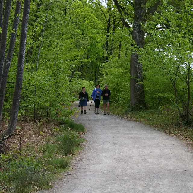
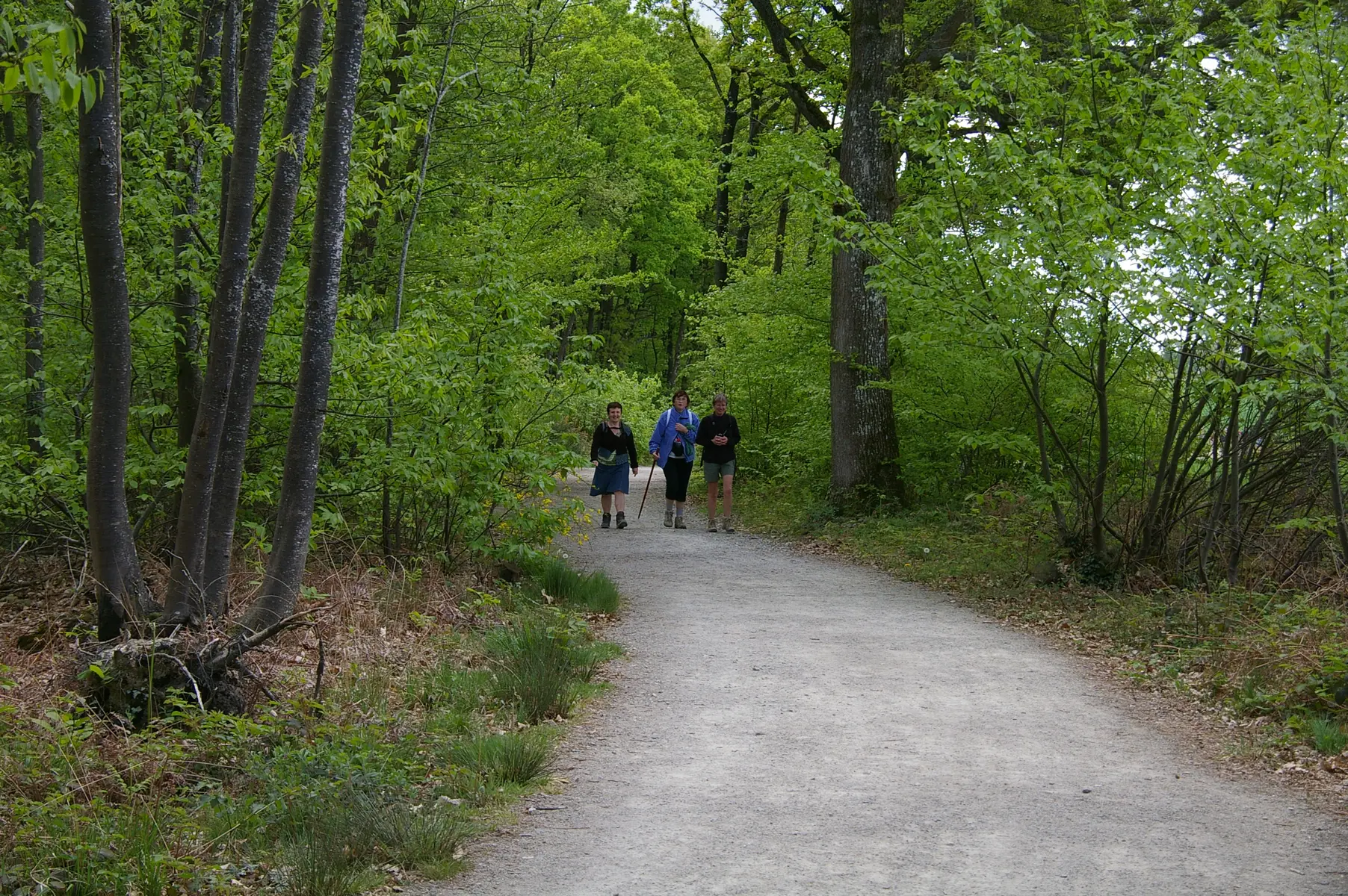
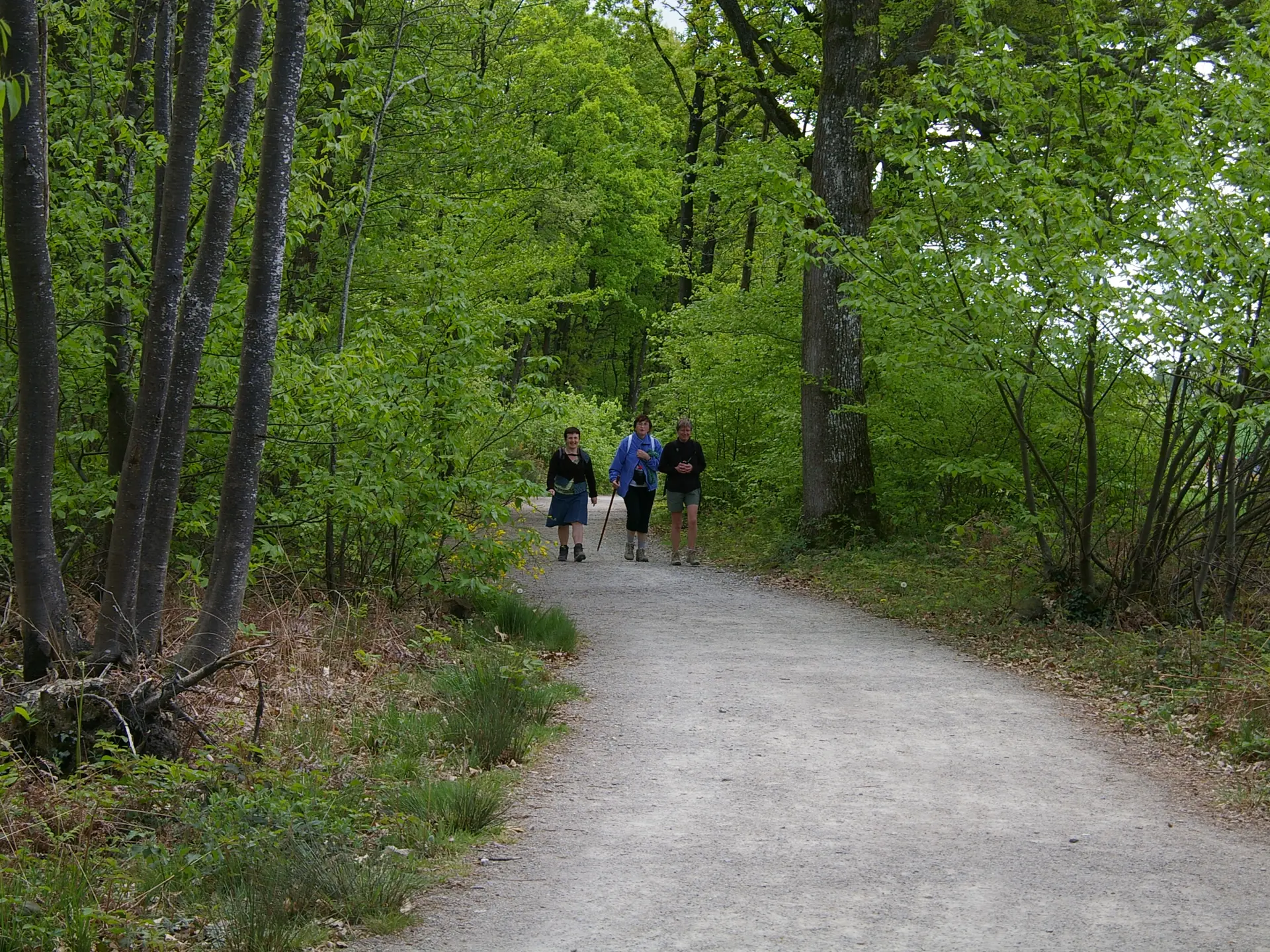
Descend to the bridge. Placette on the right bank and path along the Vicoin to the Coupeau bridge. Zigzag downhill to pass under the arch of the large bridge. To the right, climb up to the greenway. A flat stretch of embankment overlooking the Vicoin under a forest canopy that favours the flora of fresh natural environments. The path leads to a footbridge. After the meadow, turn right onto an old path that once linked farms to mills. Walk up Rue du Clos Chenil for 100 m.
Pass through the impasse de la Monnerie, then the rue de la Rousselière and its path extension, which soon leads down to the river in a hairpin bend. Climb the path alongside a stream channelled by the high embankment of the old railway line.
The greenway leads to the old station. Carefully cross the D57 and go around the Domaine de la Fénardière on a well-preserved old path lined with settlements. After the stadiums, the path leads around a marble quarry.
At the entrance to rue Saint-Exupéry, take the "venelle du Lac" along an old quarry that has been filled in. The final section takes you through the signposted streets of the town centre.