A superb, varied route covering rolling roads, footpaths, towpaths and very small roads!
Leaving from the town of Entrammes, the start of the route is great for gravel... as soon as you leave the village and cross the route de Laval (in two stages, so be careful), you'll go round the Carrière and hurtle down large, wide paths until you cross the Jouanne! Mind you, in winter, you may find your wheels in the water on either side of the stone bridge ;)
Then head back up to the Abbey (the trail goes all the way round it) before plunging into the Mayenne!
A few short kilometres of towpaths before climbing steeply towards Huisserie and its footpaths, which will take you as far as the woods, where you'll pick up speed again!
This is also the opportunity to pass through (or leave from) Laval at the most northerly point of the route... A very playful sequence between the banks of the Mayenne and the Plaine d'Aventure before returning to the countryside... towards Forcé and then Parné!
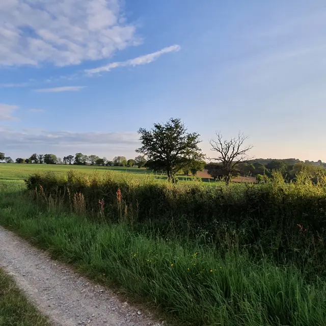
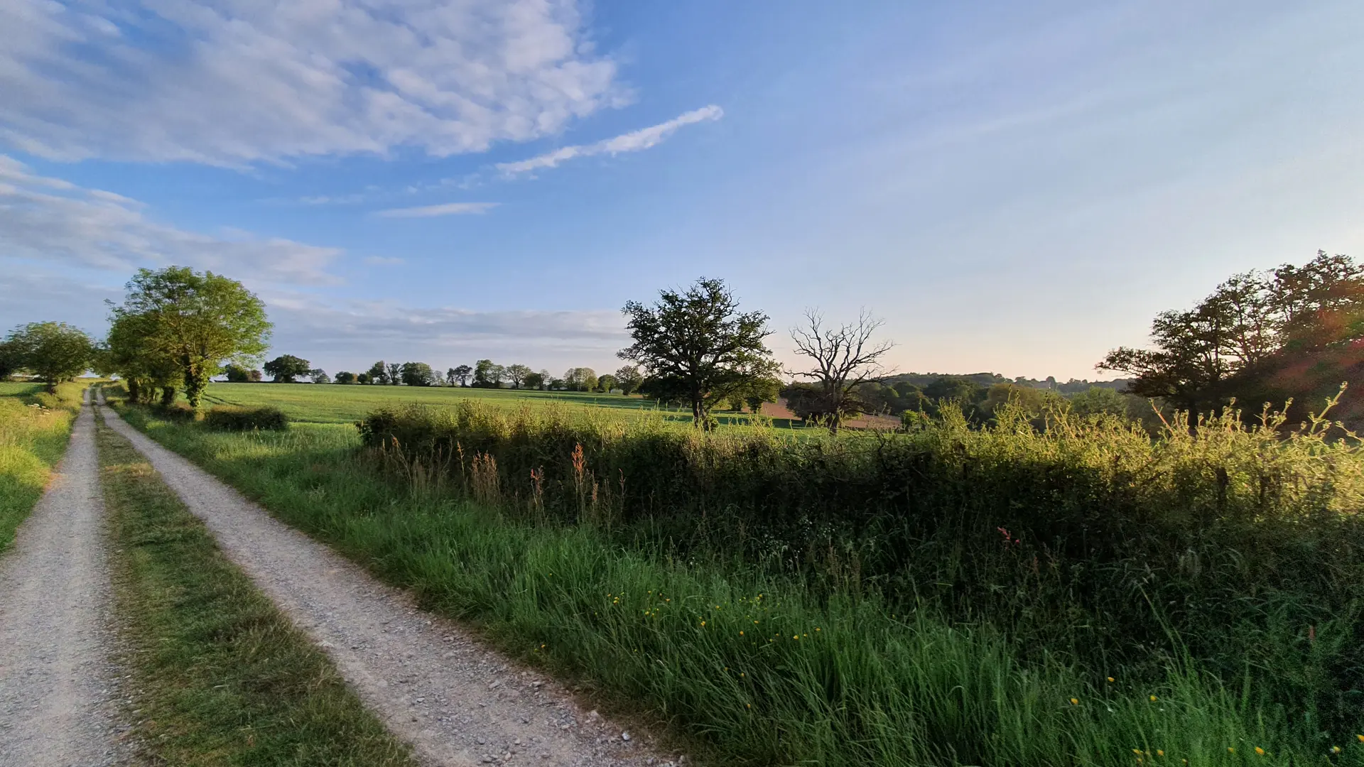
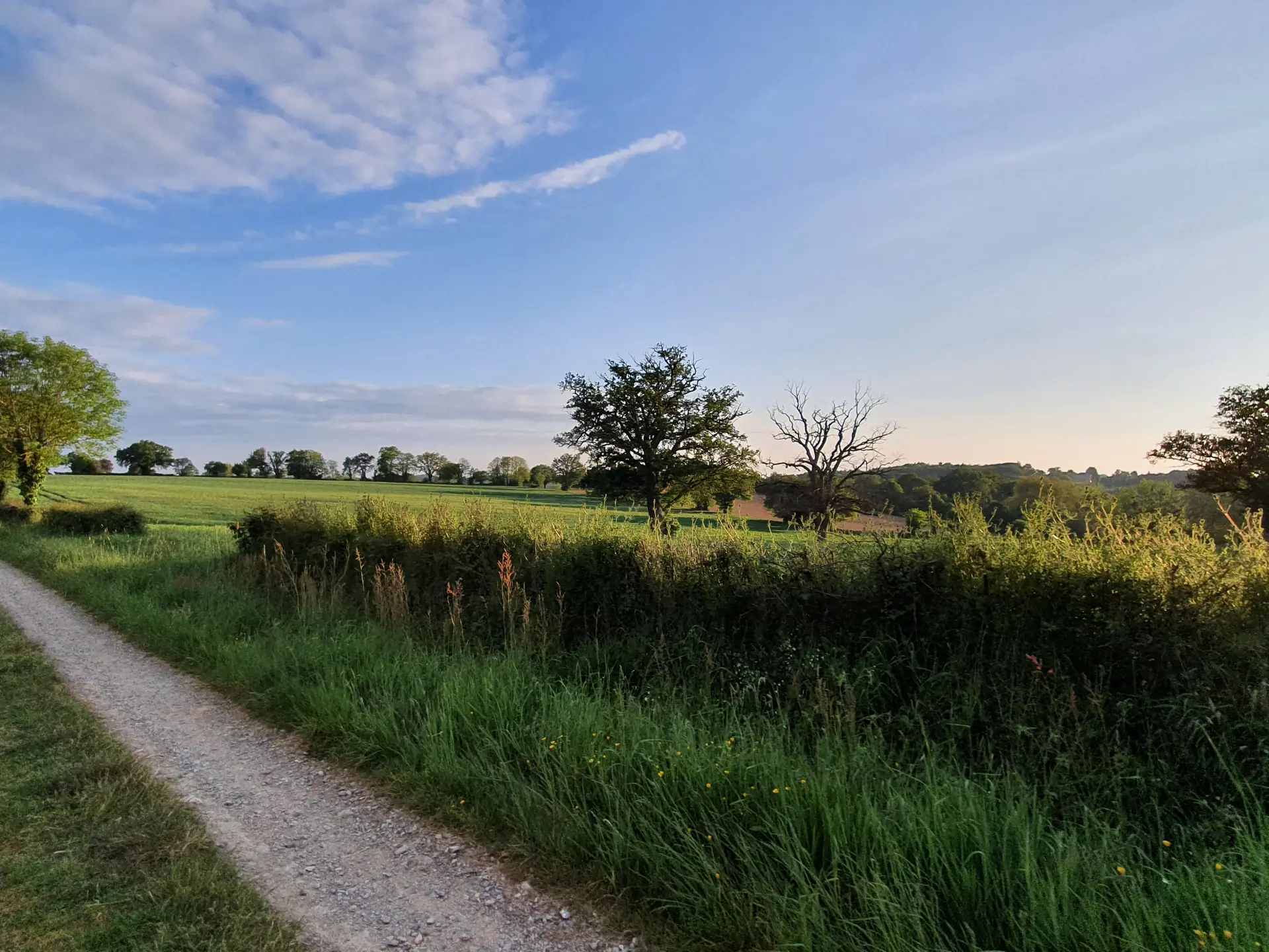
There's a succession of footpaths, minor roads and major rolling roads all the way to Entrammes!
PRACTICAL INFO :
- Download the GPX tracks to follow the route directly from your mobile phone.
- For an immersive experience, don't hesitate to visit the On Piste website to follow the route with an audio guide.